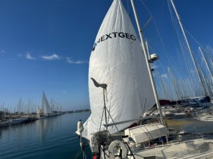
A journey two thousand meters under the sea to study and map 72 underwater mountains in the Mediterranean. The endeavor should begin within the next three months and conclude by the end of June 2026. The time frame is tight, but the mission represents something unique and unprecedented. To put it in perspective, so far only three underwater mountains have been mapped in the Mediterranean Sea, in the waters between the Ligurian Sea and the Gulf of Lion. Behind this new titanic effort is the industrial expertise of a Naples-based company, NextGeo, a global leader in marine geosciences and offshore construction support services, primarily in the energy sector, along with the scientific knowledge of ISPRA, the Higher Institute for Environmental Protection and Research. NextGeo has been awarded a contract worth 42.5 million euros by Invitalia for marine habitat mapping. This initiative is part of the “Mission 2” of the PNRR.
NextGeo and ISPRA are joining forces for a monumental project: mapping 72 underwater mountains in the Mediterranean. The study of marine habitats and climate will begin in three months.
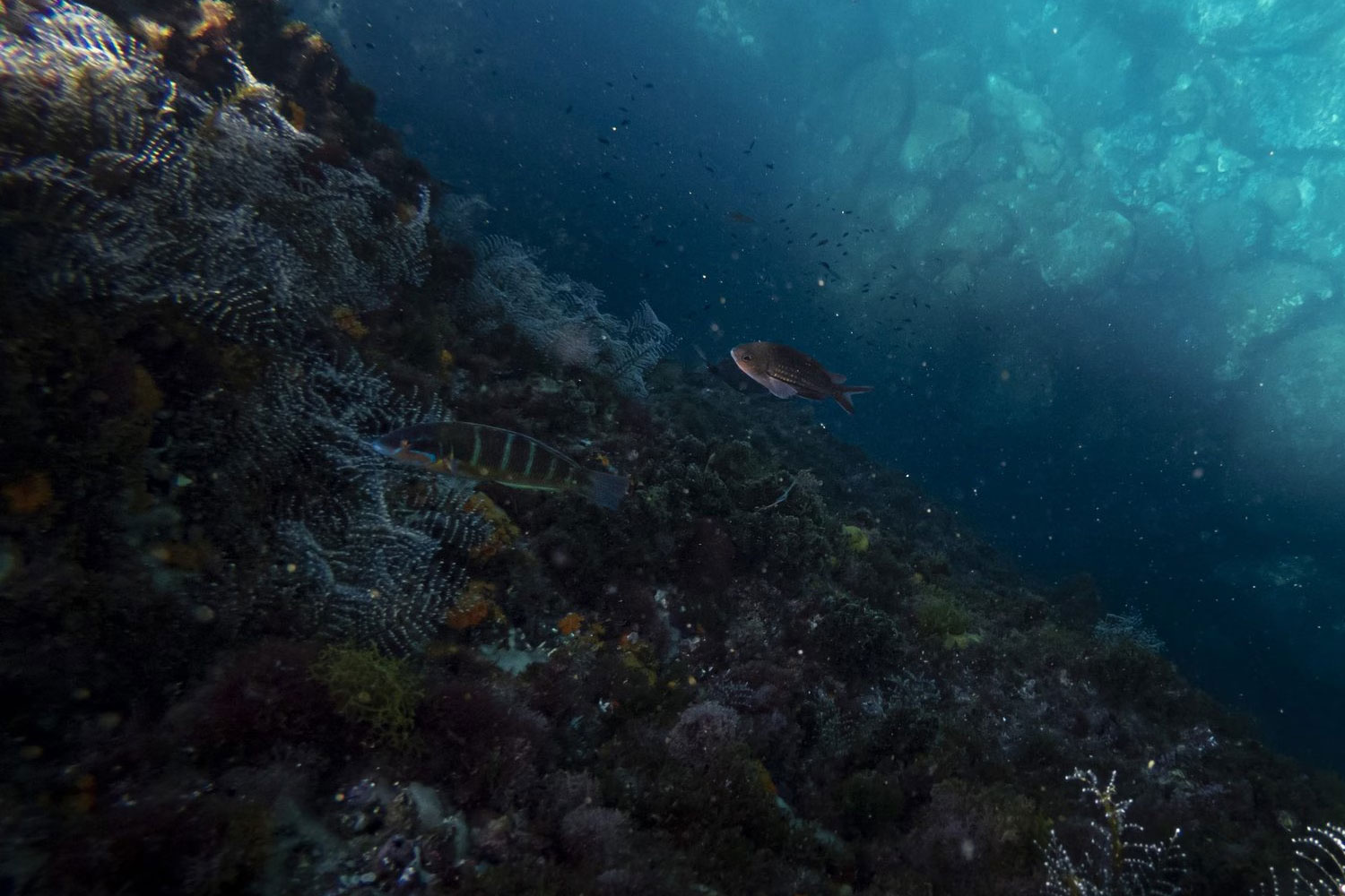
“The main areas where the expedition will take place, and where the two ships, each with a crew of about twenty technicians, will navigate, will be those of the Ionian Sea and the Adriatic Sea, descending between 150 and 2,000 meters deep, covering an area of over 9,000 square kilometers,” explains Giovanni Ranieri, CEO of NextGeo. “The most interesting structures in terms of habitats and species are found where elements emerge from the depths of the sea: the bulk of biodiversity, therefore, is concentrated on emerging structures like underwater mountains. However, caution is needed; we are talking about something we do not know: this is the most interesting and mysterious aspect of the research.”
Towards the unknown: the beauty of science
“These habitats, in addition to being unknown, correspond to the changes taking place in the Mediterranean Sea. In practice, we have very few information on, for example, the trends of currents and salinity beyond a thousand meters deep in the Mediterranean: our monumental mapping of the 72 underwater mountains will allow us to understand if and how the current system of the Mediterranean is changing,” adds Giorgi, going in deeper into the research. “Having information on the conditions of the habitats of these underwater mountains means predicting, with greater precision, the climate we might experience in the Mediterranean, and therefore in Italy, in the coming decades.” And, as in every reputable scientific research, gathering a series of information will also mean helping scientific and industrial research: “Some of the pharmaceutical substances we use today come from marine species that possess them: we expect to discover more in this mission.”
The Eyes of the ROV
“There is much to discover in these underwater depths: for example, mineral resources, essential for our energy transition. It is an absolutely living heritage, full of critically important information for sustainable development,” observes Ranieri, who recalls the first two phases of the project: “We will reconstruct in 3D the planimetry of these underwater mountains, and subsequently define the stratigraphy of the first meters of the mountains themselves. Once we have defined their geophysical shape, we will descend and observe the sides of these mountains and collect some material samples, which will then be analysed and studied by ISPRA technicians.” The eyes focused on the abyss will be those of the ROV (“Remotely Operated Vehicle”), equipped with sensors and other equipment on board (recently, NextGeo has expanded the number of these precious and sophisticated investigative tools) and capable of reaching depths of up to 5,000 meters. Moreover, this remotely operated submersible is equipped with a “Sub-bottom profiler,” which allows for the recreation of an image of the sub-sediments of the seabed.
All data in real-time
“But the extraordinary thing is that all the data collected during the underwater investigations can be read in real-time at our headquarters in Santa Brigida, in the heart of Naples,” recounts the CEO of NextGeo, emphasizing the technological complexity involved in such a mission in a short time. “Only two years to cover 72 underwater mountains is already a feat, and we must recognize that our technological partner has taken on an exceptional load: to put it in perspective, we will have an impressive amount of data in a very short time, but analyzing all of it will take at least five to ten years,” affirms Giorgi, head of the National Coast Center of ISPRA, who hopes to find unknown things from one underwater mountain to another but does not wish to find a situation in which these habitats are already changing: “Considering that the turnover time of the deep currents of the Mediterranean is about 300 years, finding them already changing at those depths would mean that the Mediterranean is already undergoing climate change.”
The Mediterranean as an object of study
Finally, if this is a unique expedition to two thousand meters under the sea, one might wonder why it is happening now and not before. “This is a project that brings together communities of very different people: sailors, oceanographic technicians, and researchers trying to understand and comprehend. Not only that. Technologies have evolved dramatically in recent years. Additionally, our awareness of the Mediterranean is quite recent: until now, we have mainly heard about oceans and coral reefs; finally, the Mediterranean is an object of study, and we are able to tackle 72 underwater mountains, taking the risk of equipment failures that are easily repairable, also thanks to the PNRR, which, from the point of view of infrastructure investment, has activated an industrial world that is mature enough to meet the requests made by scientific and technical research,” concludes Giorgi.
Read the original article here.